A Memo to Valley Water: Three Places County INRM and Water Districts Can Work as One
Valley Water and the County's Integrated Natural Resources Management program manage the same creeks, the same pests, and the same regulatory thresholds. The case for formal collaboration is practical, not political.
Kyle D. Peczkowski
Board Certified Master Arborist & Urban Forester
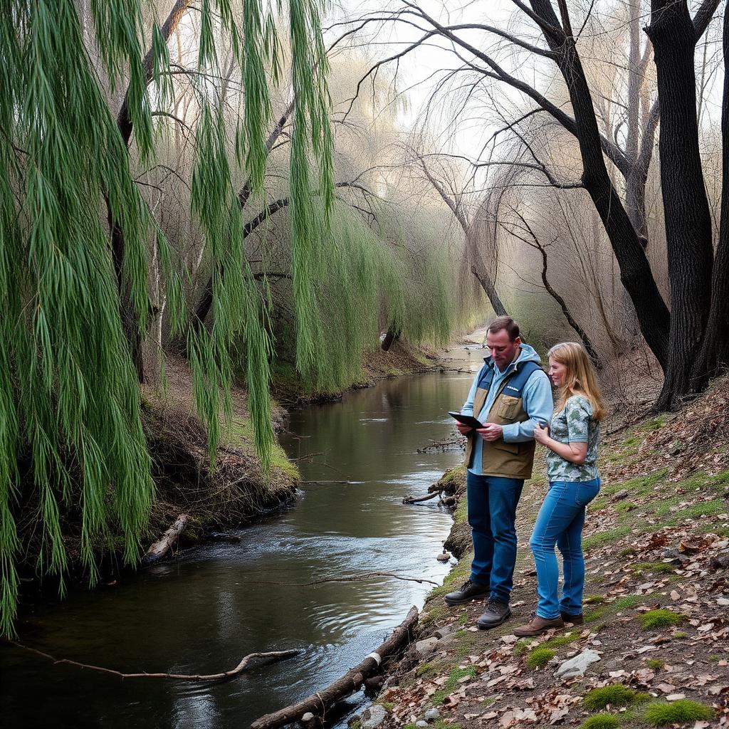
Valley Water and the County of Santa Clara's Integrated Natural Resources Management program are two of the largest public landowners and operators in the county's riparian corridors. Valley Water owns and manages flood control channels, reservoirs, and the rights-of-way that follow them. The county's INRM program manages habitat, invasive species, and environmental compliance on county parkland, open space, and unincorporated parcels. The boundaries between those jurisdictions are clear on a map. On the ground, they are invisible to a willow, a beaver, or an invasive pest.
This memo outlines three concrete opportunities to align the two programs more closely. None of them require new authority. All of them reduce cost, improve ecological outcomes, and make the county's environmental compliance more defensible.
First, coordinate riparian habitat stewardship across channel maintenance cycles. Valley Water's flood-control mandate requires periodic vegetation management in channels and along levees to maintain hydraulic capacity. INRM's mandate is to protect and restore native riparian habitat. Those two goals are often treated as competing, but they do not have to be. A shared riparian management plan — built reach by reach, with INRM identifying habitat value and Valley Water identifying hydraulic constraints — can schedule maintenance outside nesting windows, retain native willow and cottonwood where they do not threaten capacity, and target invasive Arundo and giant reed for removal in the same pass. The alternative is two crews on the same creek, working to different standards, with the habitat crew cleaning up after the maintenance crew.
Second, build a joint early-detection network for invasive pests. Valley Water's crews are in the field year-round on channels, reservoirs, and access roads. They see things first: a stand of dead ash, a new weed patch, a tree with suspicious dieback. INRM has the ecological expertise and the countywide data platform to turn those observations into a response. A simple reporting protocol — a shared form, a mapped photo point, a monthly summary — would give INRM early warning across a surveillance footprint it could never afford to staff on its own. Invasive species are cheapest to manage at the leading edge. Valley Water's field presence is the leading edge.
Third, align environmental compliance during stream maintenance. Both agencies are subject to Clean Water Act and state permitting requirements for work in or near streams. Each currently documents its own compliance: training records, buffer distances, turbidity controls, wildlife observations. A shared compliance framework — common training for contractors, standardized best management practices, a unified reporting format — would reduce duplication and make third-party audits easier. More importantly, it would make compliance more consistent across the creek, so that a county project and a Valley Water project on the same reach are held to the same standard.
There is a fourth opportunity that underlies the first three: shared data. INRM knows where the rare plants, heritage trees, and sensitive wildlife observations are. Valley Water knows where its maintenance backlog, sediment deposits, and infrastructure vulnerabilities are. Neither dataset is useful in isolation. Combined, they allow both agencies to plan work in the same place at the same time, avoiding the all-too-common pattern of one agency restoring a reach the year before the other agency has to dig it up.
The institutional barriers are real but not structural. Procurement rules, union jurisdictions, and funding streams divide the two agencies. What they do not divide is the creek itself. A memorandum of understanding, a quarterly coordination meeting, and a small shared work plan would be enough to start. The ecological return on that modest administrative investment would be substantial.
This is the kind of collaboration that makes government land management credible. Residents do not care which agency owns the creek. They care whether it is clean, whether it supports wildlife, and whether it still floods their street in a storm. Working as one across jurisdictional lines is how we answer those concerns with something better than a map and a phone tree.