Bringing Canopy Equity to Unincorporated Neighborhoods
What I learned as a Contact Tracing Lead during COVID-19, and how it reshaped my commitment to canopy equity in unincorporated neighborhoods.
Kyle D. Peczkowski
Board Certified Master Arborist & Urban Forester
In June 2020, I was tapped as less then a handful of individuals in departments outside of public health to have a lead role in contract tracing. It was hard to be recruited to step away from my role in Parks and Natural Resources and take on a temporary assignment as a Contact Tracing Lead during one of the most challenging moments in our county's history. Under the leadership of Dr. Sarah Rudman, Santa Clara County built one of the largest case investigation and contact tracing operations in the country. The county relies on people from many different professional backgrounds, including public health, disaster service workers, project managers, community volunteers, and leaders from across county government, to answer a historic call to service.
You might ask how someone with a background in natural resources management could suddenly take on a public health leadership role. The answer is simple: the county recognized that effective leaders share common skills. Strong communication, empathy, organization, collaboration, and the ability to support people through difficult circumstances are skills that transcend any single profession.
For the first time in my career, I am working alongside public health professionals, and I learned just how much our fields overlap. Public health and natural resources are both ultimately about improving people's lives and creating healthier communities.
From June 2020, I worked long hours, often six days a week, with little time away from my computer. It is a test of commitment, resilience, and what it truly means to be a public servant.
Outside of my daughter's open heart surgery in the Spring of 2019, it is also the most difficult experience of my life.
I speak with residents during some of their most vulnerable moments. Many interviews lasting one hour or more and many with an interpreter. I learned their names, their stories, their fears, and their hopes. Then, in some cases, those same people later became a number on a death certificate.
There are moments that will stay with me forever, including the death of a girl, the same age as my daughter, and the loss of nearly half an entire family after an outside gathering where they shared food but unknowingly shared the virus as well. Recording those deaths and knowing the people behind those numbers is unspeakably sad. There are times when I sit on my bedroom floor with the lights off, with my head in my hands, grieving each loss and what more I could have done.
Those are some of the darkest moments of my life. But they have also changed the direction of the aspirations of my career.
During COVID 19, I see how deeply health outcomes are connected to where people live. When we look at COVID 19 hotspots and mortality patterns, a troubling relationship emerges. The communities experiencing the greatest impacts often overlap with communities that have fewer environmental benefits, including less urban tree canopy.
That realization strengthens my commitment to urban forestry and canopy equity.
If you look at a canopy cover map of Santa Clara County, the pattern is familiar. Wealthier communities often have lush streets, mature trees, and abundant shade. Lower income neighborhoods frequently have less canopy, more pavement, and greater exposure to extreme heat. Unincorporated areas are often missing from the conversation entirely, sometimes represented as gray spaces on maps simply because no one has measured them at the same level of detail.
That gray space matters.
Unincorporated neighborhoods can be just as hot, just as paved, and just as tree poor as the urban communities surrounding them. Yet they often do not have the same tax base, municipal structure, or access to resources that cities have.
It is my goal to begin having conversations about treating canopy equity as a countywide responsibility, not a city by city issue. That means measuring unincorporated canopy with the same level of accuracy, identifying heat vulnerable communities, and creating programs that do not depend on whether a neighborhood happens to have a municipal partner.
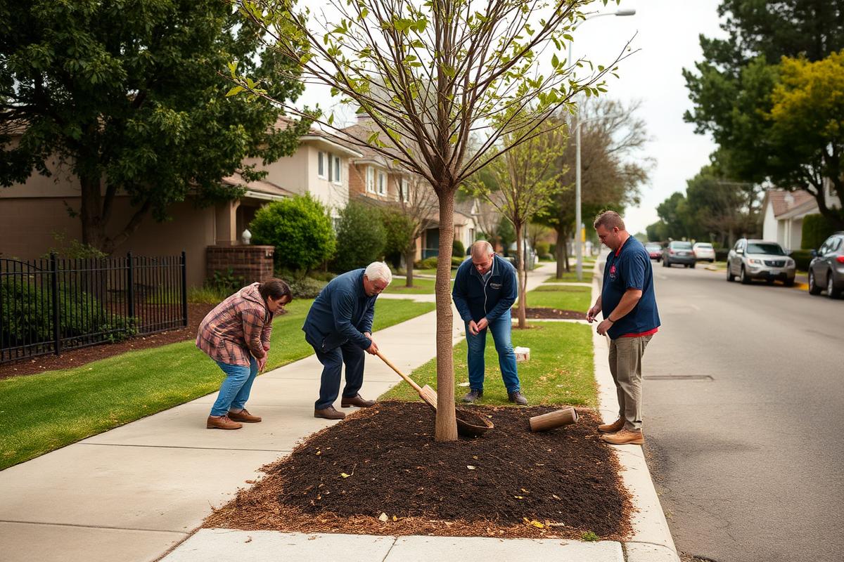
My hope is that a first pilot focuses on four unincorporated communities with combined canopy cover below 12 percent. I want to work alongside county service areas, schools, faith organizations, and residents to plant street trees, shade schoolyards, protect existing mature trees, and build long term community stewardship.
Equity in urban forestry means reaching the places that have been easiest to overlook.
The unincorporated county is one of those places. And it is where some of our most important work needs to happen.
Because the lesson I carry forward from COVID 19 is this: where we live shapes our health, our resilience, and our quality of life. Creating healthier communities requires us to look beyond traditional boundaries and invest in the people and places that need it most.